Monday, 29 April 2024
“Do that hoodoo that you do so well.” Hedley Lamarr
We reached Bryce Canyon National Park, parked at the Visitor Center and boarded the free shuttle which transports you through the main part of the park. It also travels to downtown Bryce Canyon City, where we stayed. Good to know for tomorrow. On the shuttle bus, we stayed on and toured the park observing the overcrowded the parking lots. Often we witnessed no open parking spots on Sunday afternoon.
Returning to Bryce Canyon City, we checked into our hotel, ate dinner, and decided to drive back into the park about two hours before sunset. Taking the car into the park allowed us to drive to the southern most point of the park and visit overlooks the shuttle does not service.

The overlooks and parking spaces had become nearly empty.

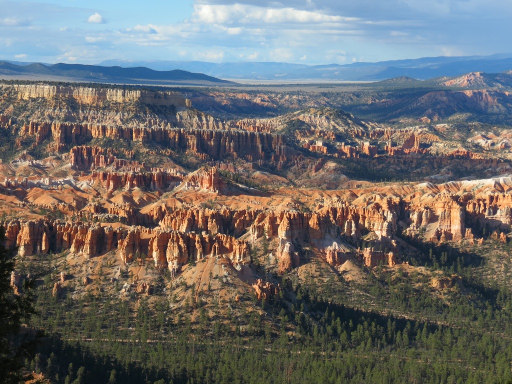
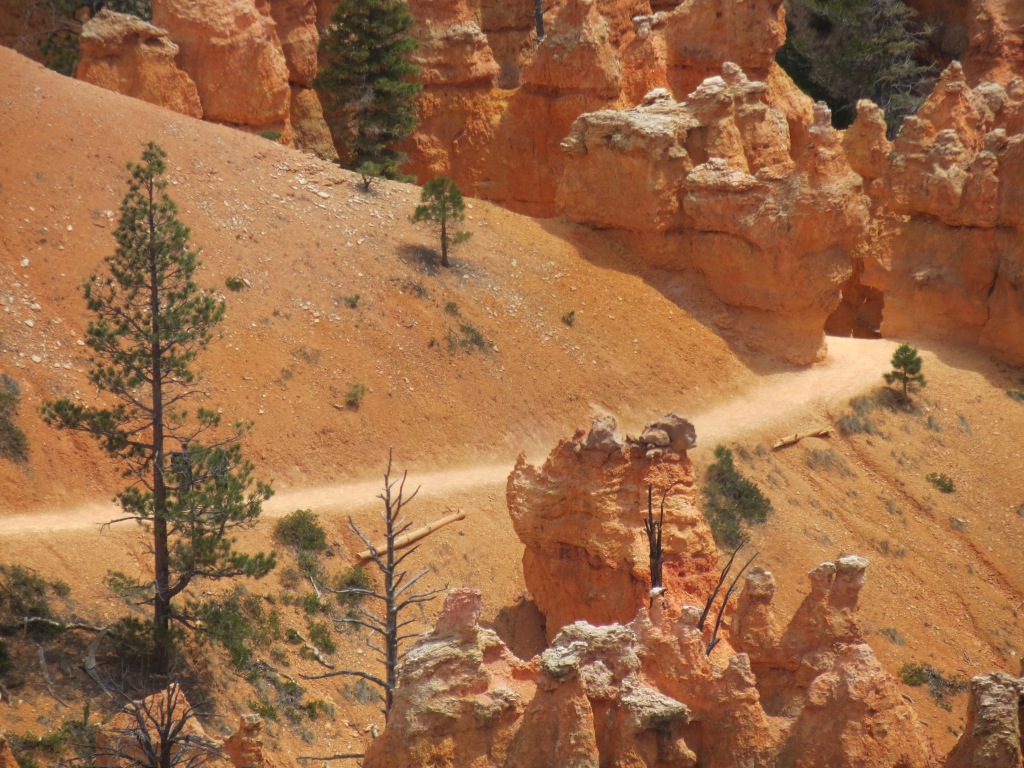
The setting sun illuminated the hoodoos.

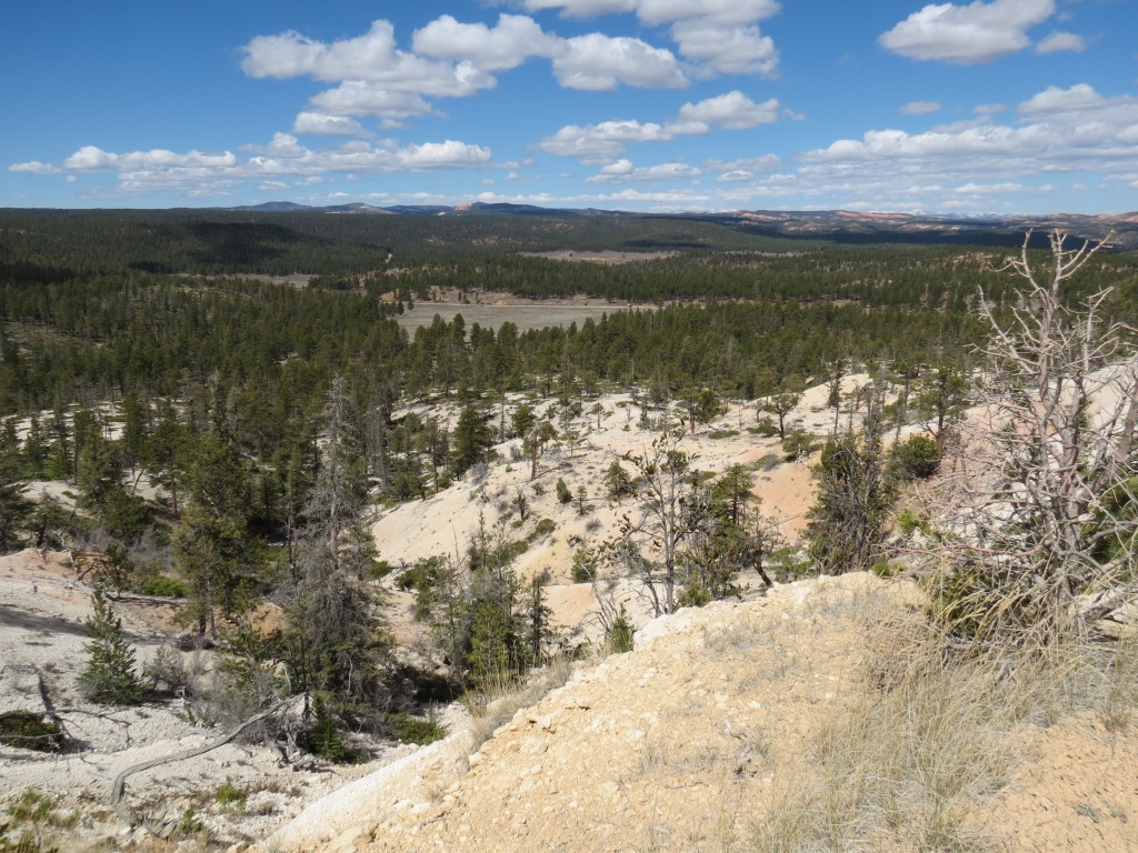
Bryce Canyon is actually not a canyon, but a series of amphitheaters that are etched into the pink Claron limestone of the Paunsaugunt Plateau. Many of the multicolor hoodoos, pinnacles, and columns are visible from the 37-mile round trip scenic drive through the park which offers numerous viewpoints, photo opportunities, and hiking trailheads.

Making this trip a couple hours before sunset was incredible. A Sunday evening and in tourist season, produced a peaceful and quiet journey.

A couple of short hikes, found the trails empty. Within minutes, the sun can change the intensity and the shape of the landscape, no matter which way you face.

There were still patches of snow up at 9000 feet.
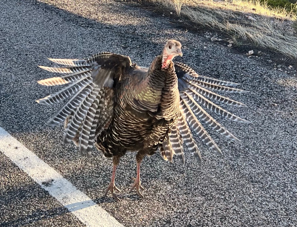
This wild and crazy guy did attack the car looking for handouts.

We reached Yovimpa Point, the southern most point in the park by car, just as the sun dipped below the horizon


In the morning, the views resumed. The shuttle picked us up in front of our hotel and dropped us off at Bryce Point, where we walked the Rim Trail, looking out and around the magnificent ancient formations.

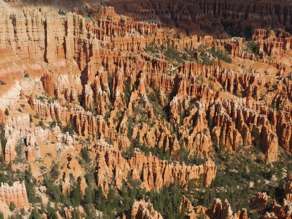
We are not repeating photos here, these ‘hoodoos’ go on forever. I commented that this type of photo would make for an exasperating 1000pc puzzle. Needless to say, it was available in the Park Information Center and it’s now in the suitcase.


Lois exhibiting the international signal of distress.


Sometimes it appeared that clay pots and vases sat on top of the formations. These are referred to as ‘hats’.

The hiking trail below in the base of the hoodoos, required a 2,000 foot descent and ascent. We stayed on the Rim Trail, along with all but a few brave souls.

It almost seemed that one strong gust of wind would topple any one of the hoodoos and cause a massive domino effect throughout the canyon.

The only wildlife siting for day, seemed uninterested in us.


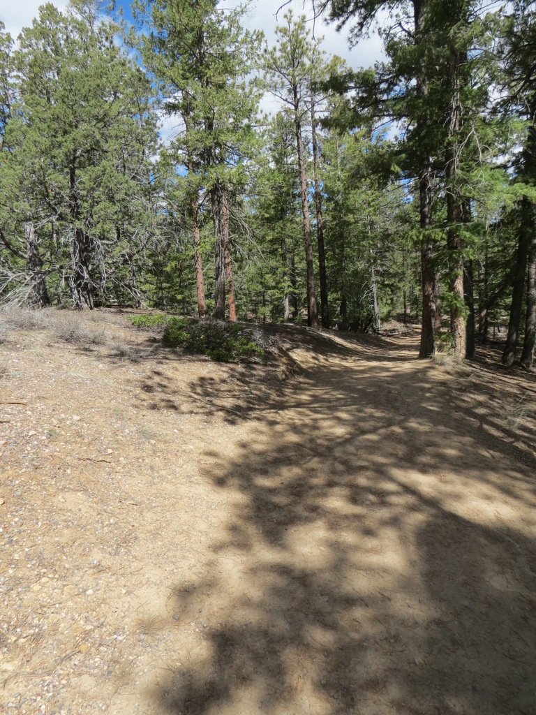
While the trail hosted many hikers on this Monday morning, it was nothing like the throngs in Zion.

Looks like soap or coral.

Most of the park is at 8,000 feet or more. At 9,000 feet, snow clings to its futile hope of surviving the southwest spring.


Extreme views on either side of the rim.

Will everyone please face forward and stand at attention!


With more national parks to explore in the southern Utah area during this trip series, how could anything measure up to views like this? Should we just pack it up and leave to go back home? The following morning we headed out onto Scenic Byway 12 and found more incredible and different landscapes.
